 Write a comment
Newry and Mourne District Council are providing a new Ring of Gullion 1:25000 scale activity map:-an essential tool for getting the best from the Ring for Gullion outdoors! The map is available from Crossmaglen, Slieve Gullion and Newry Visitor Information Centres.

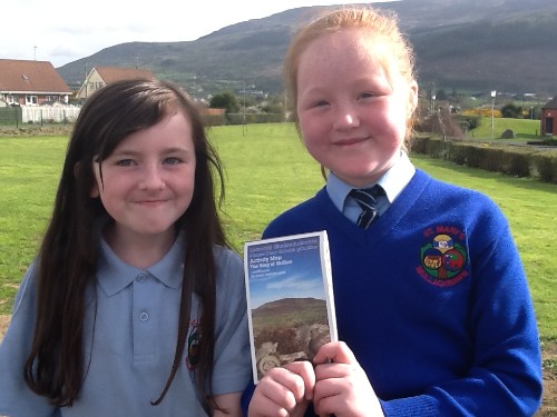
It provides a detailed guide for many outdoor activities:- amenities and services; maps and information on the area’s geology and townlands; and details on how to access the area.

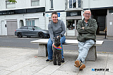
Ring of Gullion Officer, Therese Hamill told us “the map has already received very positive feedback from walking groups and visitors. It is a great teaching resource, enabling local schools to get out and about, to learn more about their local area. We hope that the map will be another tool to encourage more visitors into the area.”
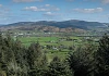
“The Ring of Gullion is renowned for outdoor recreation, culture, folklore and heritage and through this map, visitors to the area will be able to plan an exciting and action packed visit to the Ring of Gullion”.
Funding and support was provided by a number of organisations, which includes the Southern Organisation for Action in Rural areas (SOAR), Mourne Cooley Gullion Geotourism project, and the Gap of the North Walking Group.
For more information on the Ring of Gullion, visit: www.ringofgullion.org, or search for Ring of Gullion on Facebook and Twitter. Contact the office on 028 3086 8900.