

 1 Comment
All eyes are on the weather this weekend as Storm Éowyn is due to hit Ireland this Friday 24 January, bringing extremely high winds with potential record wind speeds. The Met Office have already put all of Northern Ireland on an Amber warning while Met Éireann have a Red warning for virtually all counties.

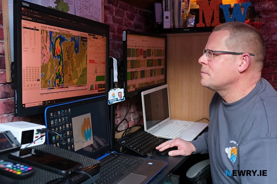
Newry's weather guru, Kieran Meaney from Meaney's Weather believes it will break records "Most definitely it's one of the strongest storms that I've ever come across. I see almost the whole country now is on a red warning. It's one of the lowest [pressure] that's ever hit us. Limerick in 1838 recorded a low of 931 and when I was looking at the model today it was coming down to 932, just off the west coast at midday on Friday. It's going to break records. It will be one of the strongest storms we've ever seen." he said.

Speaking of the Newry area Kieran said it looks like winds will be up to 80mph plus. "I can't ever remember us getting that. People need to take it very serious, because it has the potential to be extremely dangerous. I see everyone saying 'storm in a tea cup' but it needs to be taken serious. In Newry It looks like it's going to peak between Midday and 3pm on Friday. At the moment it's showing 82mph winds right over Newry with 105mph just off the coast in the Irish Sea."
Over on the west coast of Kerry winds may go right up 127mph!
Explaining the building of the storm Kieran said "It's currently building at the moment off the Gulf of Mexico, and it's going to shift north, just off the east coast of America, but then when it hits the jet stream, because the jet stream is super fast with all the cold air pushing it down from the north. America, New York and all are getting big snow at the moment, so it's compressing the jet stream, making it really fast, and it's gonna spin up and undergo explosive cyclogenesis, which means that it will drop more than 24 milibars in 24 hrs."
Heavy rain will precede the storm Thursday night into Friday morning.
Something he also hasn't seen is an interest from the National Oceanic Atmospheric Administration (NOAA) who have deployed their hurricane hunter crew and their WP-3D Orion aircraft NOAA42 (Kermit) to operate out of Shannon airport on Friday to monitor conditions off the west coast.
Overall advice would be to secure anything that is likely to be damaged by wind and listen out for up to date forecasts as the week progresses. Most importantly heed all warnings.
Check out Meaneys Weather page at www.facebook.com