Write a comment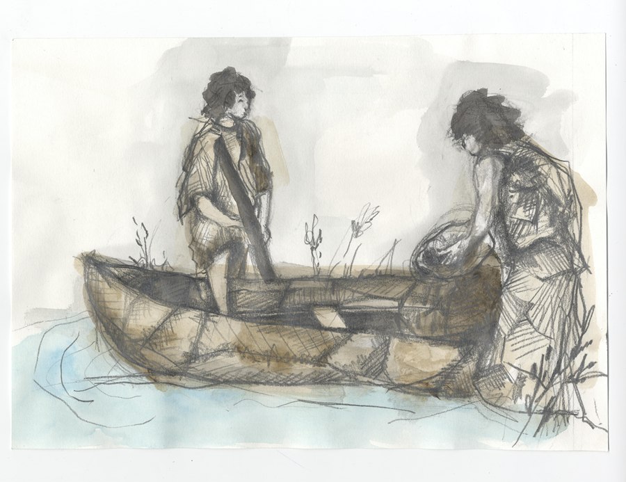
Before the introduction of wheeled transport in the late Neolithic period, walking and travelling by water were the only modes of travel. In the Mesolithic period settlement was predominantly coastal and transport was by water using canoe and small boat. Boats were made from animal hide, wooden planks or dug-out tree trunks.

Neolithic peoples established routes linking settlements, hunting grounds, summer pastures and sources of raw materials. Chariots were eventually used by the wealthy and wooden trackways, dating from the Bronze and Iron Age periods, have been discovered in peat bogs and wet ground in various parts of Ireland. A possible wooden trackway was found in a bog in the townland of Moybane, near Crossmaglen in south Armagh in the 1900s. Remains included artificially dressed wooden beams placed like paving.
Five major routeways radiated out from Tara, in county Meath, the legendary seat of the High Kings of Ireland. One of these was the Slighe Midluachra (“North Road”), which apparently passed through the Moyry Pass on its way north to the Antrim coast. Another important road went west of Slieve Gullion through the Callan valley to Armagh. The introduction of Christianity and the establishment of churches, monasteries and pilgrimage sites led to the development of additional minor routeways.
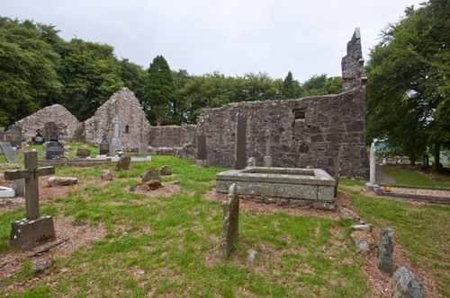
Monasteries established near routeways often provided hospitality for travellers. The Annals of the Four Masters record in 1163 that the convent at Killeavy was the first stopping place on “a royal heir’s feasting visitation” to Ulster. Killeavy was near the route of the Slighe Midluachra and was presumably a place of shelter and rest for those travelling on this road.
In the medieval period the Moyry Pass and the area around Newry were important for travel in and out of Ulster. John de Courcy defeated the Irish at a bridge near Newry in 1180 but, by the late 13th century, the area around Newry was controlled by the Magennises and the McCartans.
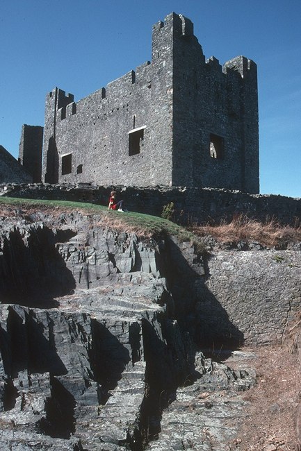
Anglo-Norman travellers on foot or on horse-back often paid the Irish for protection and to act as guides when travelling through hostile or unfamiliar parts of the country. For example, John de Knaresborough, an official of Elizabeth de Burgh, paid 2s. 4d. to the men of William Magennis for “a safe passage” to Dundrum Castle in 1353.
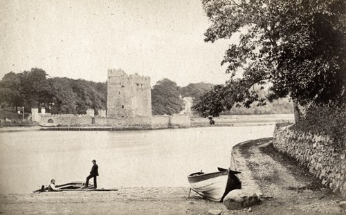
Difficulty in travelling by land resulted in the importance of communications by sea and rivers. The Irish name for Narrow Water – Caol Uisce (“narrow channel of water”) – has been interpreted by historians as also indicating a crossing place. A ferry between Greencastle and Carlingford was a valuable source of income for the earls of Ulster in the 13th and 14th centuries. Medieval Carlingford had maritime links with other coastal settlements in Ulster including Dundrum, Ardglass, Movilla and Carrickfergus.
Nevertheless, travel by road remained significant. Two streets from the medieval settlement at Newry are included on a map of the town drawn by Robert Lythe in the 1570s. Named on the map as the “The Way to Iveagh” and the “The Way to Tyrone”, these streets survive in the modern town as High Street and North Street respectively.
The Museum is currently offering free tours of the exhibition galleries on Wednesdays and Thursdays at 11.00 am. These must be booked in advance by calling our Education Officer at 0330 137 4422.
Newry and Mourne Museum is open Tuesday – Saturday 10.00 am – 4.30 pm. Please call 0330 137 4422 or email museum@nmandd.org for further information.